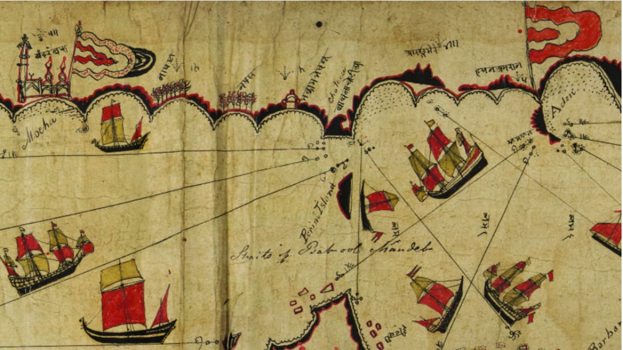
The document, dated to the late 18th or early 19th century, is illustrated with images of ships and religious buildings. It depicts more than 180 islands, along with reefs, landmarks and flags. | Read More in JPost.com – The Jerusalem Post – All News from the Middle East, Israel, and the Jewish World

- News
- Views
- Topics
- Sources
- Israel in Maps
- Welcome to Zion
- About
Select Page